

Archaeologists from Samara University have discovered traces of ancient, multi-kilometer defensive fortifications in Samara Oblast that may potentially be connected to the famous late 14th-century battle between the forces of Amir Timur, ruler of Maveranahr (Central Asia), and Tokhtamysh, Khan of the Golden Horde. The bloody confrontation took place in June 1391 and ended in Tokhtamysh's defeat—an event historians consider the beginning of the Golden Horde's decline. The search for evidence of this pivotal historical event is being conducted within the framework of the international historical-archaeological project "The Military Campaign of Amir Timur into Desht-i-Kipchak in 1391."
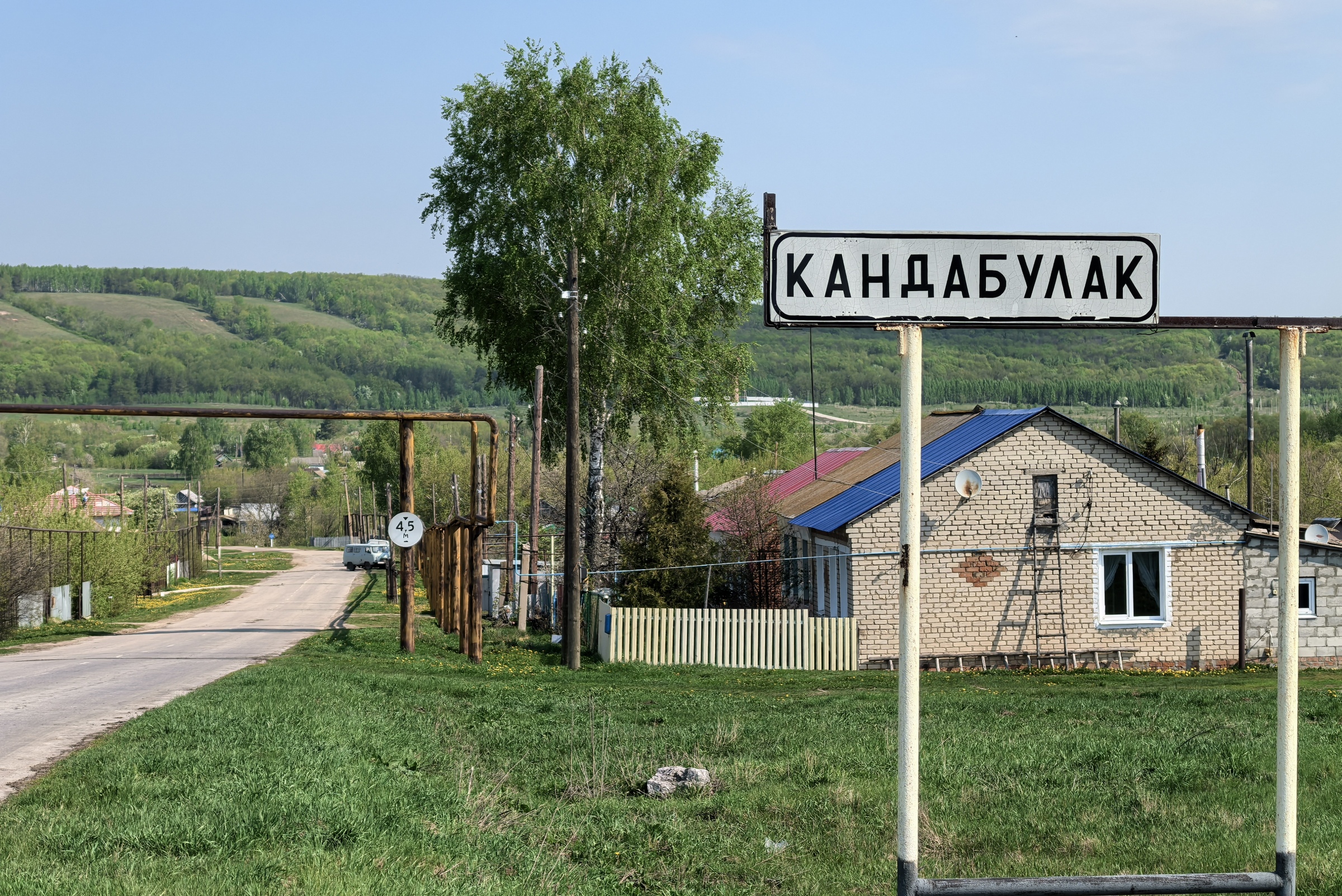
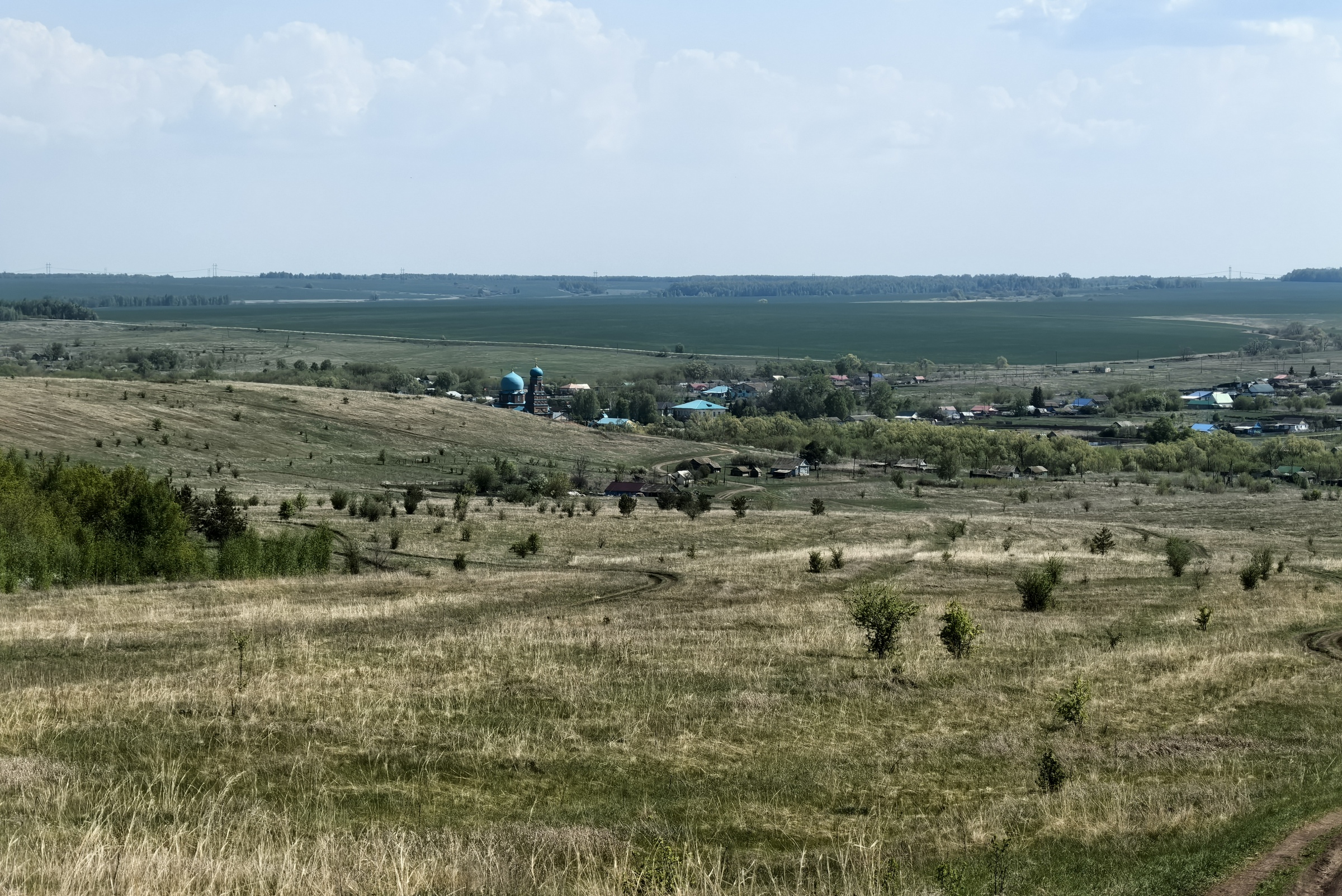

"During archaeological reconnaissance in the Kandabulaksky Forest tract in the Sergievsky District of Samara Oblast, we discovered an ancient, weathered earthen rampart with an accompanying moat stretching approximately 12 kilometers," shared Sergey Zubov, Scientific Supervisor of Samara University's Archaeology Research Laboratory and Director of the Scientific-Educational Center for Archaeology and Ethnography of the Volga-Urals region.
"Previously, a similar large-scale structure—a rampart and moat system totaling about 14 kilometers in length—was found in the Krasnoyarsky District of our region, near the confluence of the Kondurcha and Sok rivers. These ramparts and moats are most likely defensive fortifications, and based on several indicators, we associate them with Amir Timur's military campaign of 1391. It is quite possible that these earthworks were constructed by advance units of Timur's army to prevent nighttime cavalry attacks by Golden Horde warriors."
High-Tech Archaeology: LiDAR Reveals Hidden History
According to the scientist, most of these defensive structures are located not in open steppe terrain but within forested areas, complicating their survey. To create a detailed topographic plan with precise coordinates, archaeologists are employing LiDAR technology—laser scanning of the landscape using a LiDAR station mounted on an unmanned aerial vehicle (UAV). This cutting-edge technology enables modeling and visualization of the surveyed terrain with centimeter-level accuracy, unaffected by tree foliage, dense grass, or shrubs. The total area under investigation near the rampart and moat in the Sergievsky District covers approximately 700 hectares.
"After discovering the massive rampart and moat in the Krasnoyarsky District, we hypothesized that it was not an isolated object—that additional defensive structures must exist," Zubov explained.
"Studying maps of the likely routes taken by the armies of Amir Timur and Khan Tokhtamysh, we noticed the village of Kandabulak. Interestingly, 'kan' in Tatar means 'blood,' while 'bulak' translates to 'small river' or 'stream.' We decided to survey this area—and encountered the remains of a huge rampart and moat system. Of course, after centuries, the moat is no longer as deep as it might have been 635 years ago; it has naturally filled with soil over time. Yet the sheer length of this moat—and its counterpart in the Krasnoyarsky District—remains impressive.
Now we must determine who built these fortifications: Tokhtamysh's troops or Timur's forces. To answer this, we will conduct archaeological excavations this year. We will cut cross-sections through the rampart and moat to understand their construction methods and original dimensions. We will also dig stratigraphic test pits to locate cultural layers left by either army, allowing us to verify these structures and establish their attribution."
Excavations are scheduled to begin in the second half of August.
About the Project
The international historical-archaeological project "The Military Campaign of Amir Timur into Desht-i-Kipchak in 1391" was launched in 2023. Participants include universities and research institutions from Uzbekistan and various regions of Russia—including Tatarstan, Bashkortostan, Samara Oblast, and Kurgan Oblast. Samara University serves as the lead organizer and coordinator of this international, interdisciplinary research initiative.
Within the project framework, scholars are examining various aspects of the military-political and socio-economic landscape of late 14th-century Eurasia, striving to pinpoint the exact location of one of Russian history's most significant battles: the bloody clash between the forces of Golden Horde Khan Tokhtamysh and Central Asian ruler Amir Timur. This monumental confrontation—believed by historians to have marked the decline of the Golden Horde and paved the way for the rise of the Principality of Moscow—occurred in 1391 on the territory of present-day Samara Oblast. Yet the precise battlefield location remains elusive, with multiple competing hypotheses.
Archaeologists also aim to locate sites of vanguard and rearguard engagements, bivouacs and military camps of both massive armies, retreat routes of Golden Horde detachments, and crossing points across the Volga River.
Historical Context
- Desht-i-Kipchak (The Cuman Steppe): A historical Eurasian region encompassing the Great Steppe from the lower Danube to the Irtysh River and Lake Balkhash.
- Maveranahr: A historical region in Central Asia, home to the cities of Samarkand and Bukhara. The name translates as "the land beyond the river."
- The 1391 Campaign: In 1391, Central Asian ruler Amir Timur launched a campaign against Golden Horde Khan Tokhtamysh, who had previously conducted raids on Timur's territories. In June 1391, Timur's army—numbering approximately 200,000 warriors—caught up with the retreating Tokhtamysh on the territory of modern-day Samara Oblast, where the famous battle took place. Tokhtamysh's forces were defeated, and the Khan fled. Four years later, Timur delivered the final blow, crushing Tokhtamysh's army at the Battle of the Terek River.
- The Battlefield Debate: According to contemporary written sources, the 1391 battle occurred in a locality called Kunduzcha, which historians unanimously identify as the Kondurcha River. However, the Kondurcha stretches approximately 300 kilometers, and the exact battle site remains unknown. Some scholars place the clash in the interfluve of the Sok and Kondurcha rivers; others suggest the area near the village of Stary Buyan in the Krasnoyarsky District; still others point to the vicinity of the village of Koshki, whose name derives from the Turkic word kosh—"herders' camp" or "military encampment."
- Historical Significance: Most historians agree that Tokhtamysh's defeats in the battles of 1391 and 1395 proved fatal for the Golden Horde, marking its decline and the onset of the irreversible fragmentation of its statehood at the turn of the 14th and 15th centuries. This new political reality laid the groundwork for the strengthening and ascendancy of the Principality of Moscow over other East Slavic principalities—becoming one of the prerequisites for the eventual creation of a unified Russian state.
- LiDAR Technology: LiDAR (Light Identification Detection and Ranging) is a laser-based remote sensing technology that emits optical-range laser waves and registers the scattered pulses reflected from surveyed objects. It enables terrain modeling with centimeter-level precision and is actively used by leading archaeologists worldwide to make discoveries in areas thought to be thoroughly explored. For example, airborne laser scanning in 2015 revealed an extensive network of ancient cities, roads, and water management systems in Cambodian forests, dating roughly to the 7th–12th centuries. In 2018, LiDAR helped researchers uncover the ruins of over 60,000 Maya structures in the jungles of northern Guatemala.
With each trench dug and each laser scan completed, Samara's archaeologists bring us one step closer to rewriting a pivotal chapter in Eurasian history—proving that the past still has stories to tell, if only we know where—and how—to listen.
