
The Northern Urals is one of the most famous tourist regions in our country. However, unfortunately, it gained this fame not for its breathtaking mountain views, but for the tragic death of Igor Dyatlov's tourist group. It was in these very places that our hike route lay.
We're chasing the fogs and the scent of the taiga
We started our two-week journey from the Auspiya campsite.
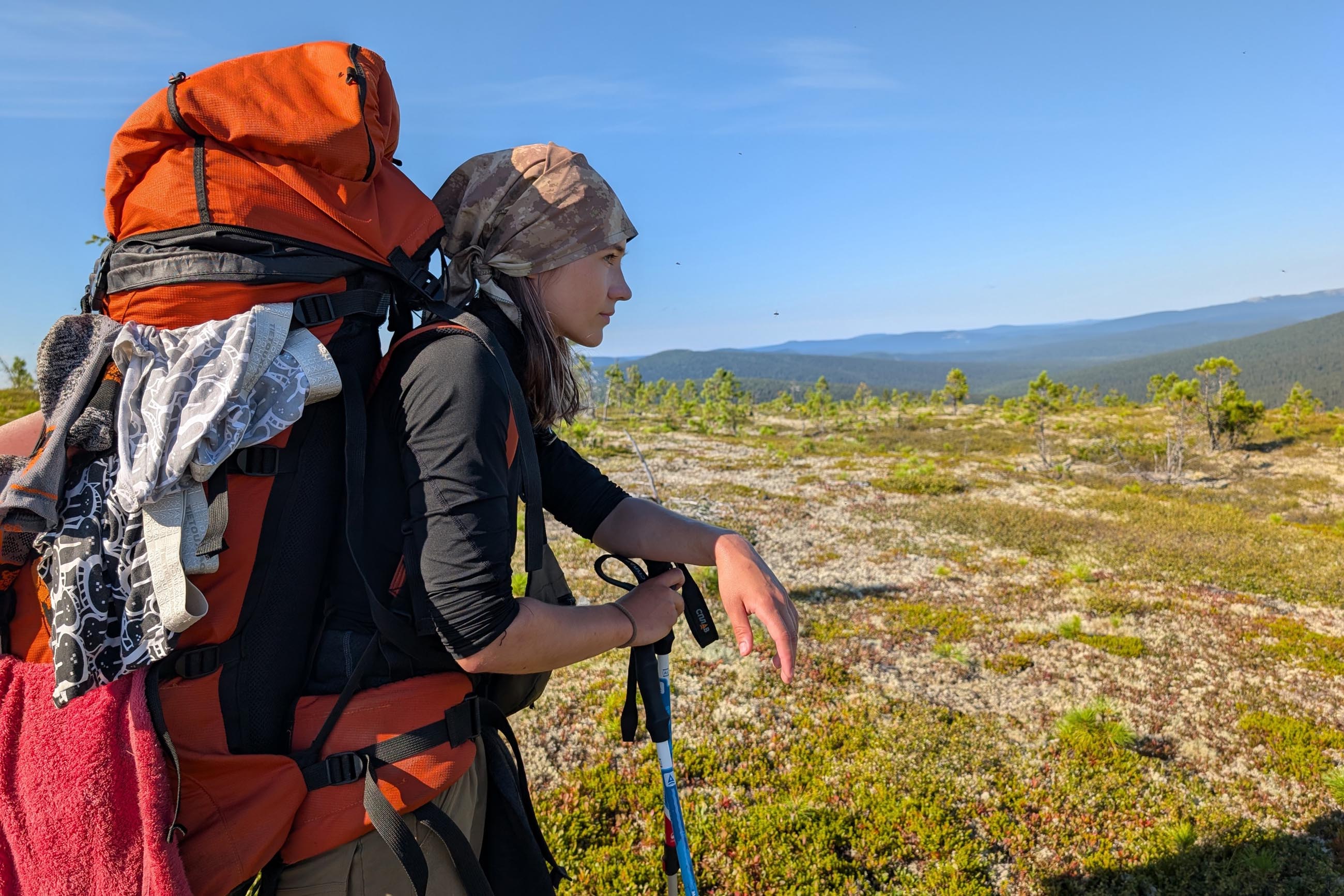
The first day on the route was off to a bad start: one participant had problems with their backpack's hip belt, causing all the weight to rest on their shoulders, making the walking very hard, and the leader's backpack shoulder strap tore. We had to make urgent repairs. The taiga also resisted our progress: the forests of the Northern Urals are not the easiest place for walking, with winding and swampy paths, plus the heat and squadrons of the "taiga air force" – mosquitoes and other midges. The only comforting thing was that the road wound along the Auspiya River, allowing us to easily replenish our water supplies. In addition, the water in the mountain river is incredibly tasty and refreshing. We ended the second day at the Vilka-Lozhka (Fork-Spoon) campsite, although initially we had planned to go further.
The Legendary Pass
The day began with drizzle. Well, what's a hike without rain? Reaching the Kedr (Cedar) campsite, albeit behind schedule, we confirmed that the decision to spend the night at Vilka-Lozhka was correct; the campsite was littered with tents.
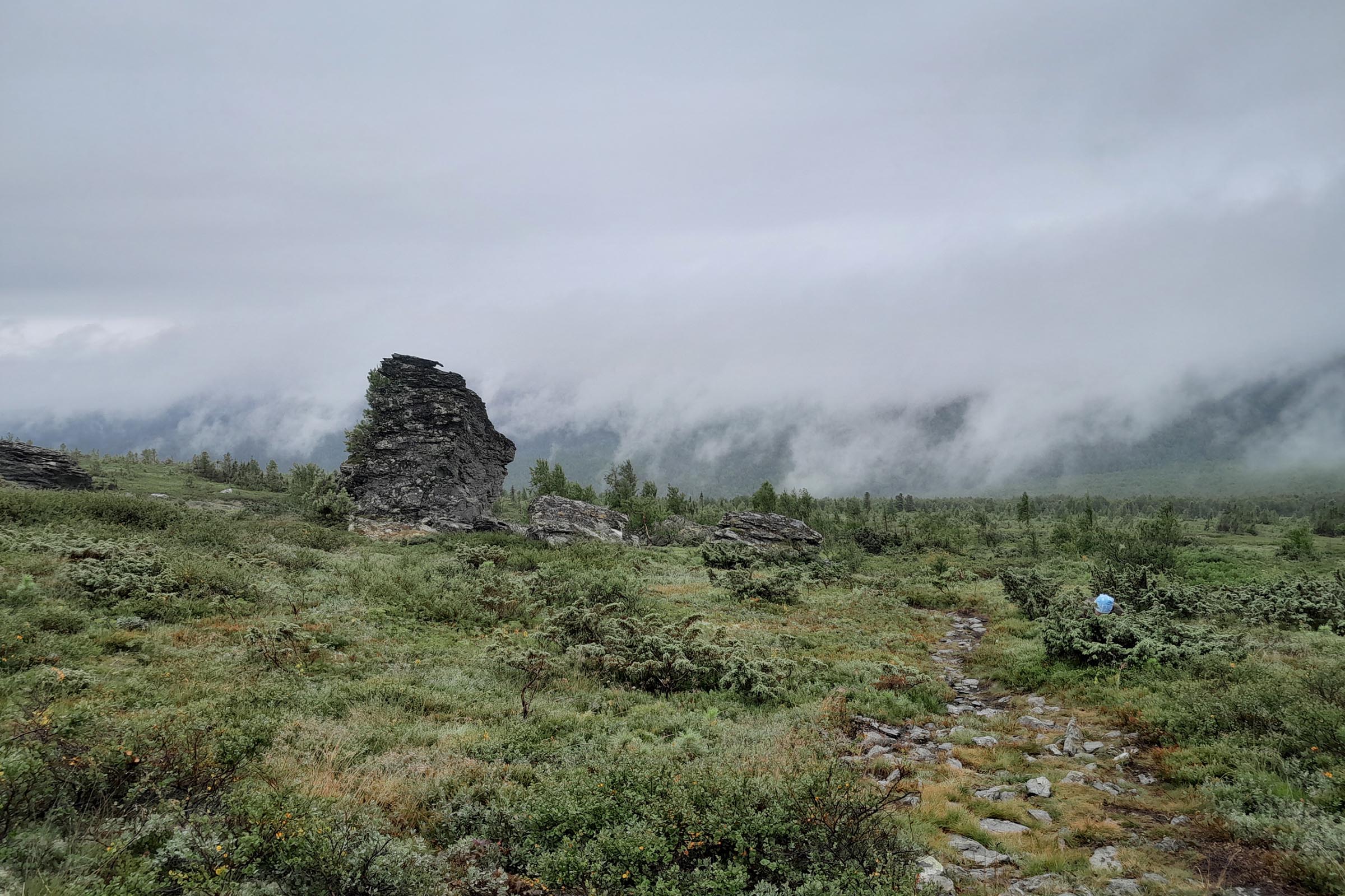
Finally, the ascent to the Main Ural Range. The trail wasn't easy, but it pleased us a little with tasty mountain berries. We reached the pass where the famous death of Igor Dyatlov's group occurred. The weather – cool and foggy – gave the place an air of mysterious incompleteness, which has long accompanied this tragedy. However, the view from the pass was a delight. All the features of the local terrain, all the waves of greenery interspersed with gray rocky slopes, were simultaneously hidden, smoothed, and emphasized by a thick fog.
We set up camp at some distance from the spring. Down below, near it, the area was very swampy, and up on top, the wind pierced us through. It was probably the coldest overnight stay of the entire trip. In addition, unlike in the taiga, the water situation in the mountains themselves is much worse. Good thing we had canisters and they weren't empty.
Mount Otorten
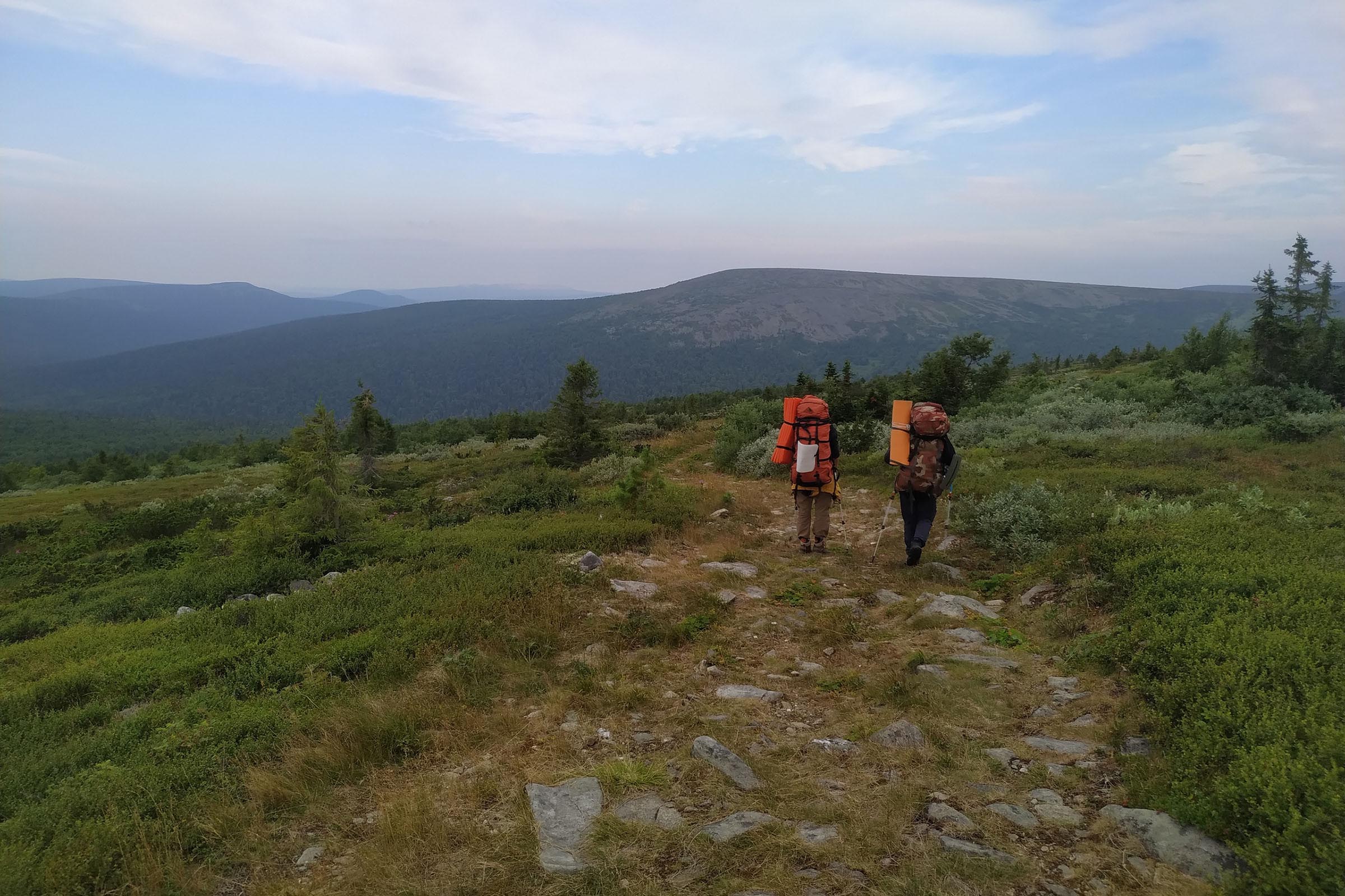
Next, we faced a difficult task: the ascent to the mountain peak Otorten. The difficulty lay in the fact that we were moving over large stones – kurum (scree) – which kept shifting under our weight. Any careless step could have ended very badly.
The name of the peak itself originated from an error back in the Soviet Union and is a distorted name of the mountain Vot-Tar-Tan-Syakhl, which is located north of Otorten. The indigenous people of these areas, the Mansi, call the peak Lunt-Khusap, which can be translated as "Goose's Nest."
Despite the fact that the descent from Otorten turned out to be even more difficult, our group successfully coped with it and set up camp by the Tump'ya River. It became obvious that with each day our lag behind the plan was growing.
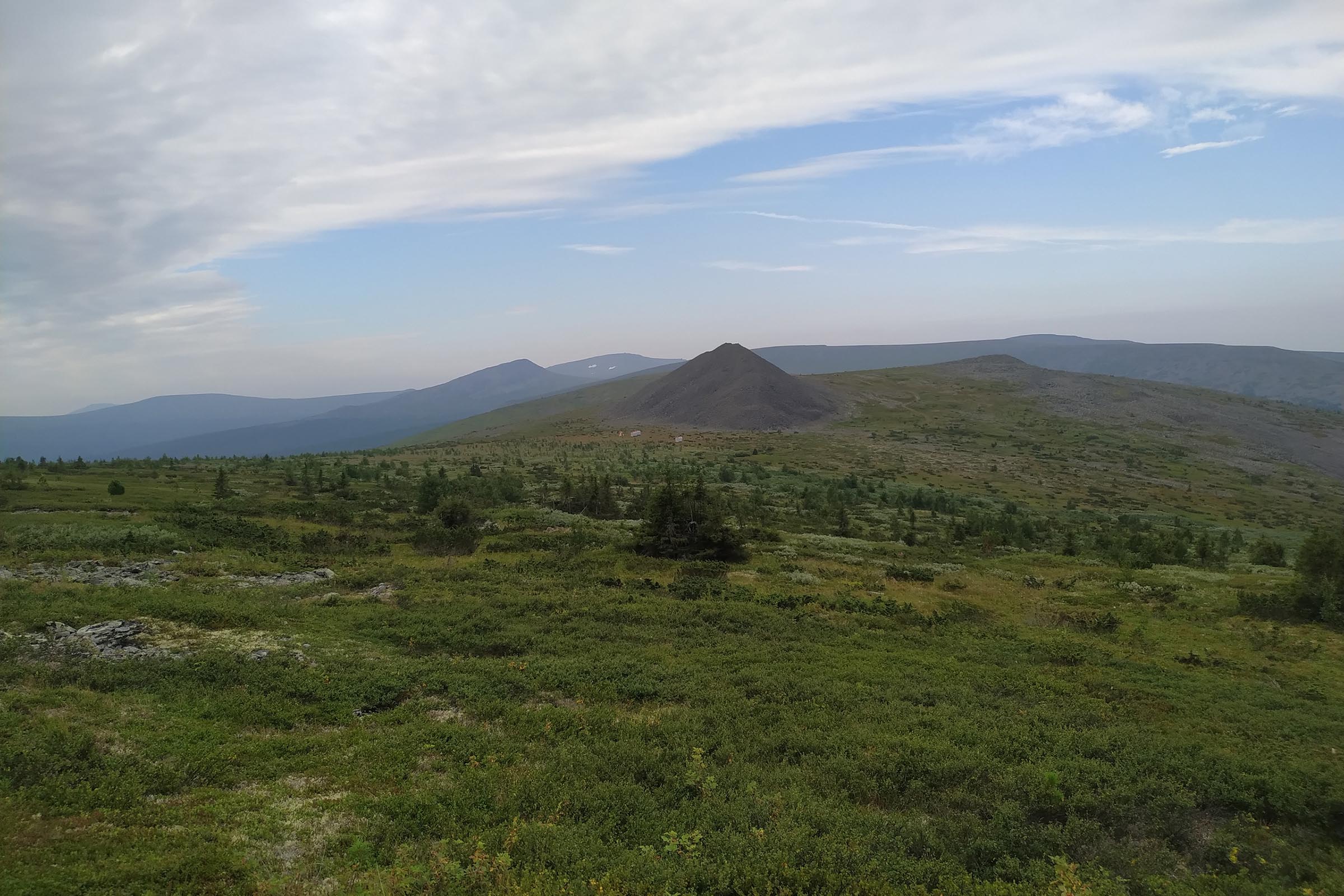
What is Mount Shchebyonka Like?
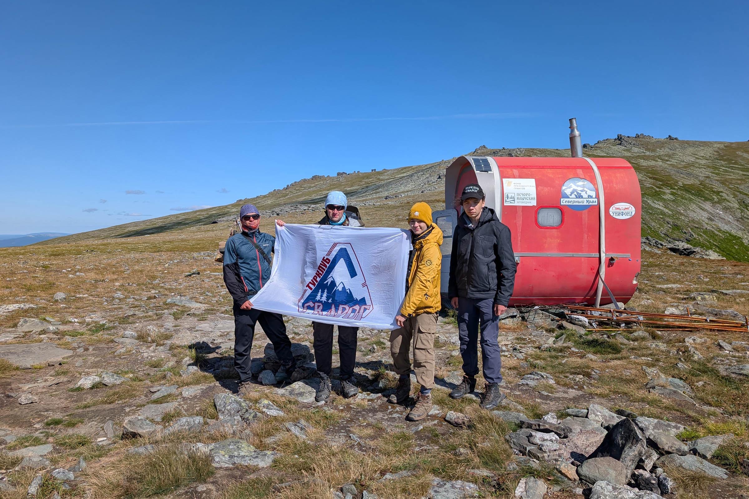
The next point of our journey was Mount Shchebyonka (Gravel). At its foot, we spent the night in a mountain module – a small metal booth with four bunks and a stove. But there was no firewood nearby! Fortunately, the nights weren't too cold.
The mountain's name turned out to be surprisingly descriptive, as from a distance it really did look like a huge pile of gravel.
The Manpupuner Plateau
Our route ended at the famous Manpupuner Plateau. Manpupuner is a geological monument and a sacred place in the Northern Urals, consisting of seven stone outcrops (rock pillars) 30-42 meters high. From the Mansi language, the name translates as "the small mountain of idols," and colloquially these pillars are called "Mansi bogatyrs" or "Mansi idols." The pillars were formed as a result of selective weathering of ancient bedrock and are considered one of the "Seven Wonders of Russia." We experienced a ton of emotions from such a significant moment.
To make up for lost time, we decided to bypass Otorten on the way back. As a result, we had to cover twenty-one kilometers that day instead of the usual fifteen. Fortunately, very soon we were back at the starting point, from where it wasn't far to go home.
Yegor Golovkov, Student of the Institute of Informatics and Cybernetics
Photo provided by the author